Calling Olho Vivo Patrol a brain on wheels helps explain that the vehicle does more than store isolated photographs. Along a route, it organizes plate reads and street context so a team can review what happened. The metaphor has an important limit: the vehicle does not replace the authority, issue fines or turn an image into a diagnosis or work order.
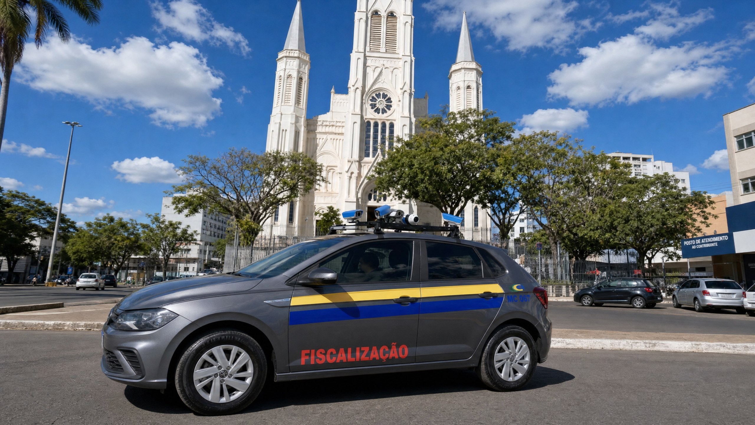
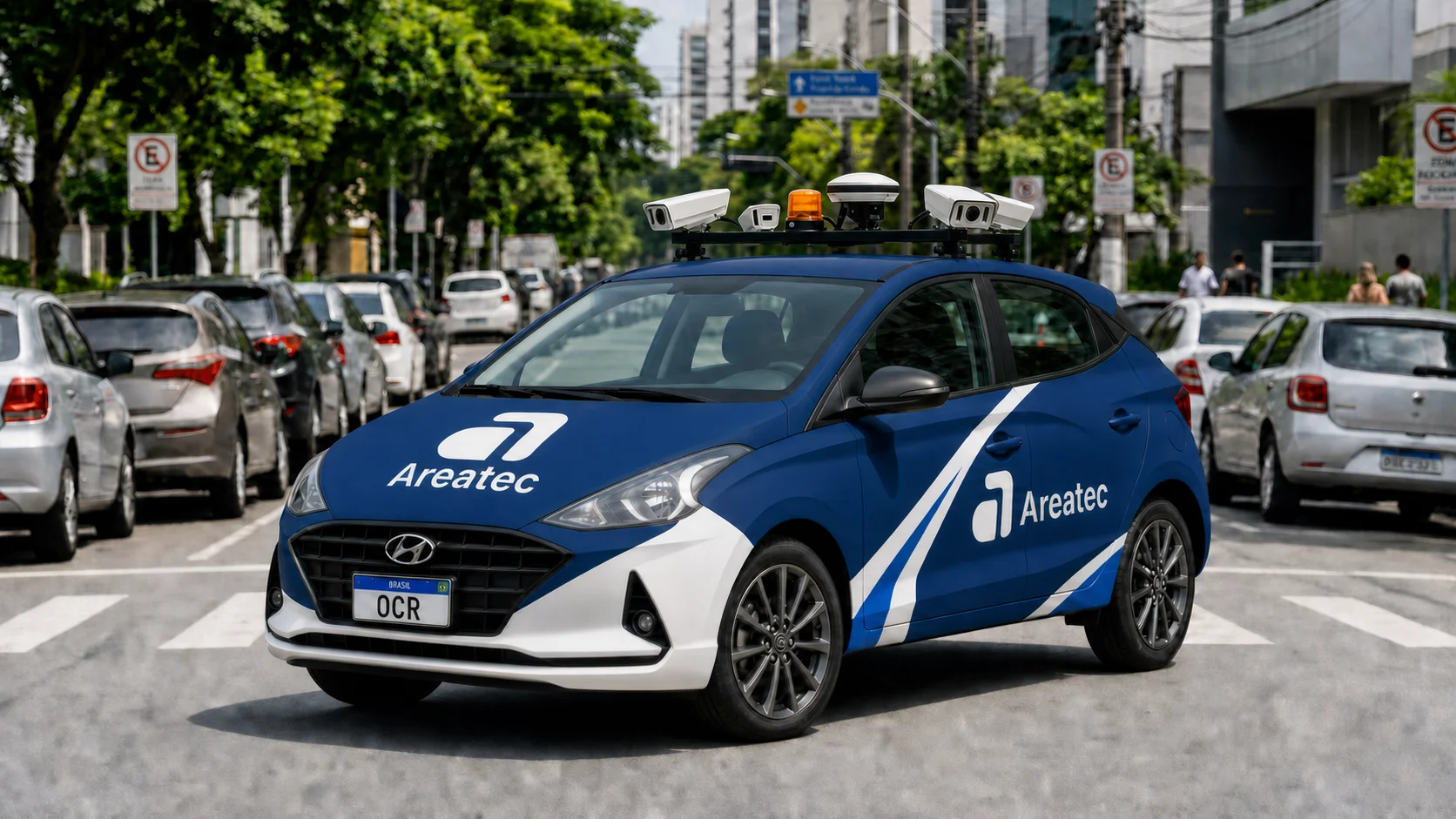
Olho Vivo Patrol is Areatec's complete mobile enforcement vehicle. Onboard cameras record what is within the field of view defined for the project. The system can associate the plate, image, position, time, camera and direction of travel in a reviewable record. External sources are used only when they are authorized and integrated into the project.
From a plate read to route context
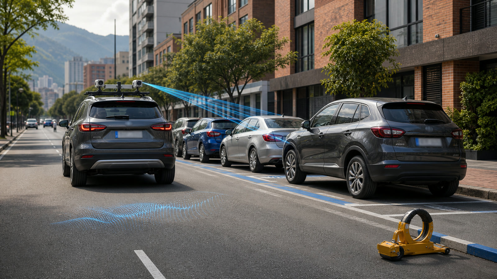
An isolated read does not explain the situation on the street. The vehicle may be next to a regulated parking space, a driveway, private property or an area outside the operation. The record therefore needs enough context for the team to distinguish an observation, a possible irregularity and a misleading scene.
The workflow also separates responsibilities. The vehicle collects and organizes evidence. An authorized person checks the read, consults the sources included in the project and follows the municipality's procedure. Olho Vivo Patrol does not issue a fine, make a decision or immobilize a vehicle automatically.
Local processing, synchronization and continuity without a network vary according to the contracted architecture. Cameras, mounting, connectivity, sample and confidence criteria must be assessed on the vehicle and route selected for the project. A rate observed in one configuration is not a guarantee for another city or capture condition.
The OCR route can also map R-6b signs
In cities where Areatec OCR vehicles are in operation, R-6b signs found in areas actually covered by the routes are mapped. This is a concrete use of a pass already made on the street. The record may include the image, the location associated with the route, the capture time and the context available for review.
Under Brazil's Road Traffic Signage Manual, R-6b identifies regulated parking. Specific conditions may depend on supplementary information and the signed road segment. Locating one sign does not, by itself, prove the existence of paid parking, a fee, operating hours, a stay limit, a vehicle category or regulatory compliance at that point.
The vertical-sign mapping page explains how this record enters an inventory and which boundaries must remain visible. Coverage follows the routes traveled and suitable capture conditions. It does not represent every street or every traffic-sign class in a city.
Urban maintenance requires a defined purpose
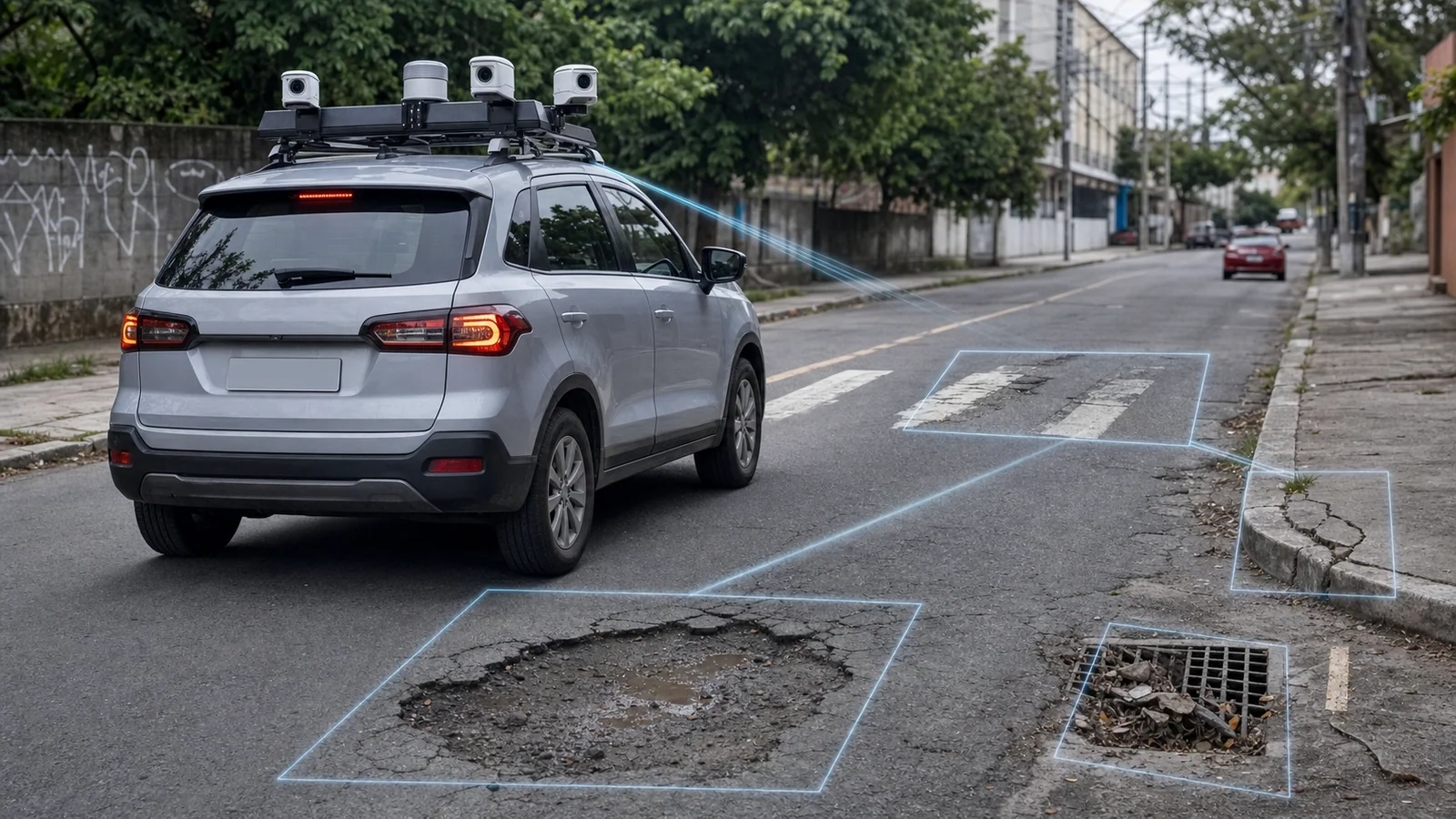
The same route can support urban maintenance when that purpose, its modules and categories are part of the project. Authorized imagery may organize indications related to pavement, signage and other assets included in scope. Each category requires its own configuration, capture conditions and acceptance testing.
For pavement, an image may flag a location for triage. It does not independently determine the nature, extent or cause of a defect. The pothole detection page describes this boundary: the system supports location and review but does not replace field inspection, measurement or an engineering report when they are required.
The same care applies to other municipal needs. Universal detection of cracks, streetlights, waste, sidewalks or any other asset must not be assumed. Availability depends on the contracted module, authorized purpose, route coverage, representative sample and criteria approved during acceptance testing.
How a record reaches the municipal workflow
An urban-management operation can be organized into four movements:
- Capture: the vehicle records a plate or street asset within the scope and area traveled.
- Contextualization: image, location, time and compatible data form a record for analysis.
- Human review: an authorized person confirms, corrects or rejects the suggested category.
- Routing: the approved record follows the defined procedure and, when a contracted integration exists, may reach a compatible municipal system.
Automatic work-order creation, status return and completion evidence are not universal features. They depend on available interfaces, authorized credentials, local rules, contract and acceptance testing. The platform organizes the trail; decisions and service delivery remain with the people assigned by the municipality.
What a procurement document should state
A verifiable proposal should state which routes are covered, which categories are enabled, which data accompanies each record and who performs the review. It should also identify integrations, access roles, retention, duplicate handling and the criteria used to accept or reject results.
This design makes it possible to use a vehicle that already travels through the city without claiming that one pass solves every urban-maintenance need. Its value lies in producing contextualized records, keeping project boundaries visible and routing each item to the appropriate procedure.
Reference
BRAZILIAN NATIONAL TRAFFIC SECRETARIAT. Brazilian Road Traffic Signage Manual, Volume I: Regulatory Vertical Signs. Available at: gov.br/transportes.