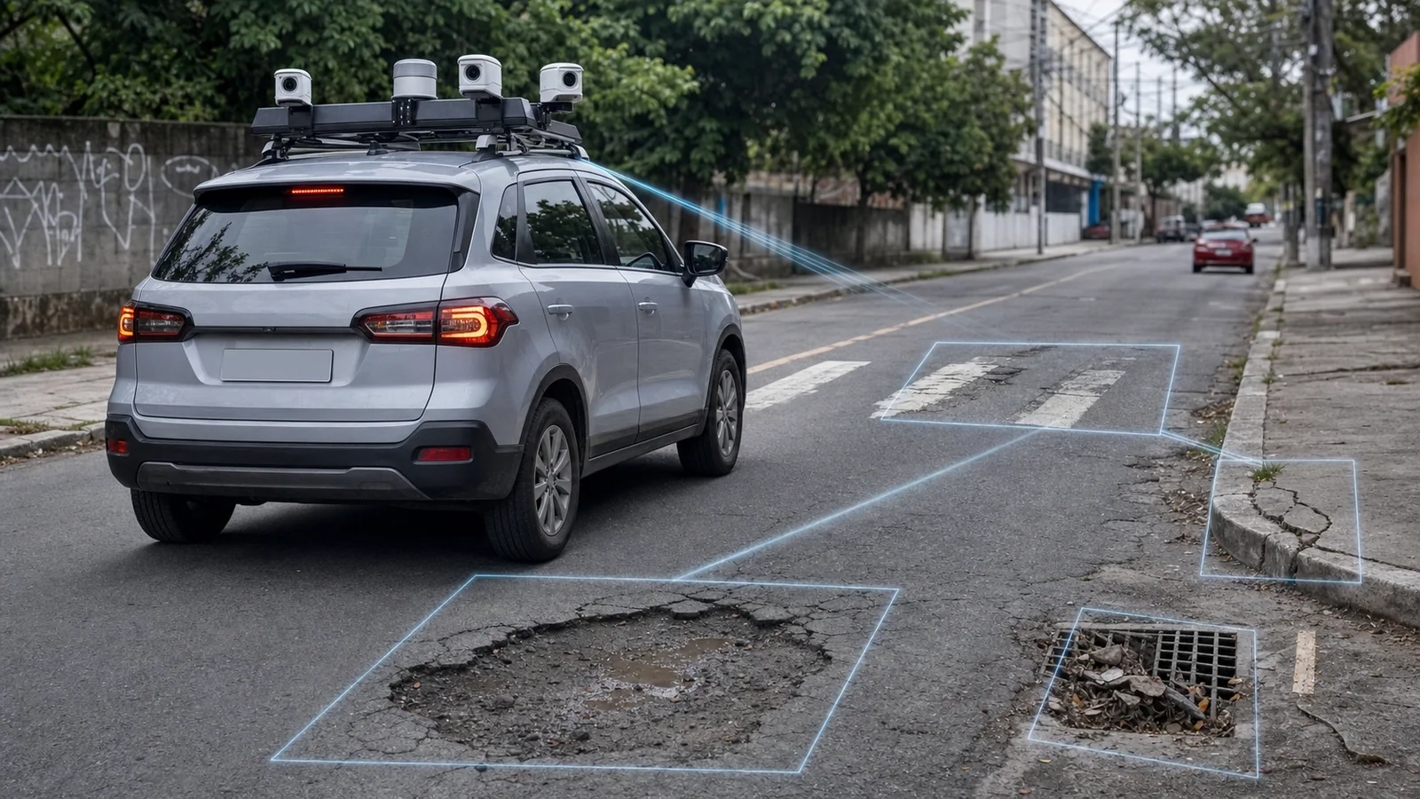
An enforcement vehicle already traveling through a city can produce more than license plate reads. In cities where Areatec OCR vehicles are active, the route can also serve as a source for recording street assets with an image, location and context. This material organizes field observations so the municipality can review, route and follow each occurrence through its own urban maintenance process.
There is a concrete example of this capability: Areatec already maps R-6b signs found within the areas covered by active OCR routes. Under Brazil's Road Traffic Signage Manual, R-6b identifies regulated parking. Mapping the asset found along a route does not mean that Areatec operates paid parking in that city, nor that every street or every class of traffic sign has been inventoried.
The distinction matters. Urban maintenance covers the registration and management of city assets and occurrences. Paid parking has its own rules, operation and systems. The same sign may be relevant to both contexts, but each service keeps a separate scope and responsibility.
The OCR route as a source of street observations
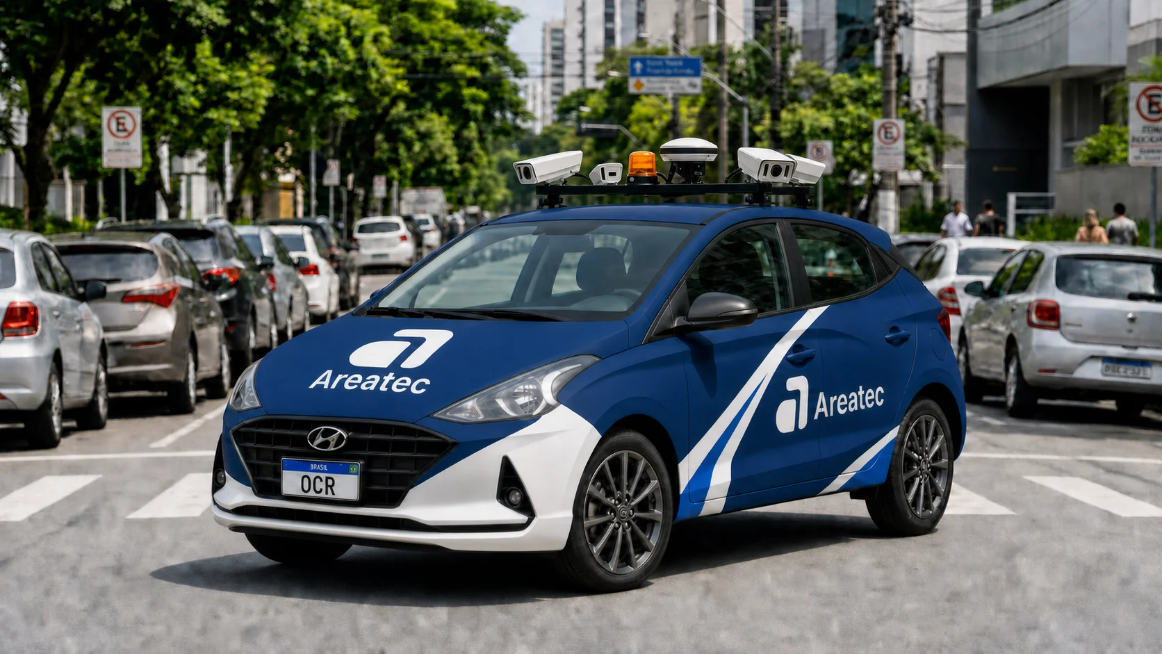
Olho Vivo Patrol is Areatec's complete mobile enforcement vehicle. Onboard cameras and sensors record what is within their field of view and within the coverage defined for the project. When urban maintenance is part of that route, a pass can produce structured records for assets or situations included in the contracted scope.
The vehicle is the mobile capture source, not the administrative decision maker. The system can organize an image, position, date, time, direction of travel and suggested category. An authorized person confirms the record, corrects the classification when needed and decides how it should be routed. The municipality remains responsible for priority criteria, any complementary inspection and service delivery.
Coverage follows the routes actually traveled. A sign outside the route, obscured during the pass or outside suitable capture conditions may not appear in the survey. The product should therefore disclose its area, frequency and collection conditions without extending the scope beyond what was observed.
What R-6b mapping delivers
R-6b is a regulated-parking sign. According to Brazil's National Traffic Secretariat manual, it may be accompanied by supplementary information specifying parking conditions, and its effect relates to the signed block face or road segment.
Within areas covered by active OCR routes, an R-6b record may include:
- the image captured during the route;
- the location associated with the vehicle pass;
- the time and direction of collection;
- a suggested category for review;
- the available history for that context.
This set helps the municipality locate the sign and organize an asset review. By itself, it does not attest retroreflectivity, regulatory compliance, condition, legal validity or full consistency between the sign and municipal rules. Those conclusions depend on the technical scope, capture conditions and review by the competent authority.
From capture to follow-up
A useful urban maintenance operation must connect the street to the team responsible for the work. In Areatec's urban maintenance platform, the workflow can be configured in five stages:
- Route capture: the vehicle records an asset or situation within the area traveled.
- Contextualization: image, location, time and project-compatible data form a reviewable record.
- Human review: an authorized person confirms the category, checks for duplicates and adds context.
- Routing: an approved record may be sent to a compatible municipal system or converted into a request under rules defined by the municipality.
- Follow-up: status, owner, completion evidence and history may be associated with the request when that integration is included in the project.
Opening a work order is not a default outcome of every deployment. Integration depends on available interfaces, authorized credentials, the contract and acceptance testing. In some municipalities, the platform delivers a queue for review. In others, an approved record proceeds to a system already used by the administration. The architecture must respect local governance.
Signage, pavement and other scopes
Brazilian R-6b vertical-sign mapping is a confirmed operational capability. Other vertical-sign classes and other urban maintenance categories must be contracted and validated separately. This prevents a specific capability from becoming a generic promise about the entire city.
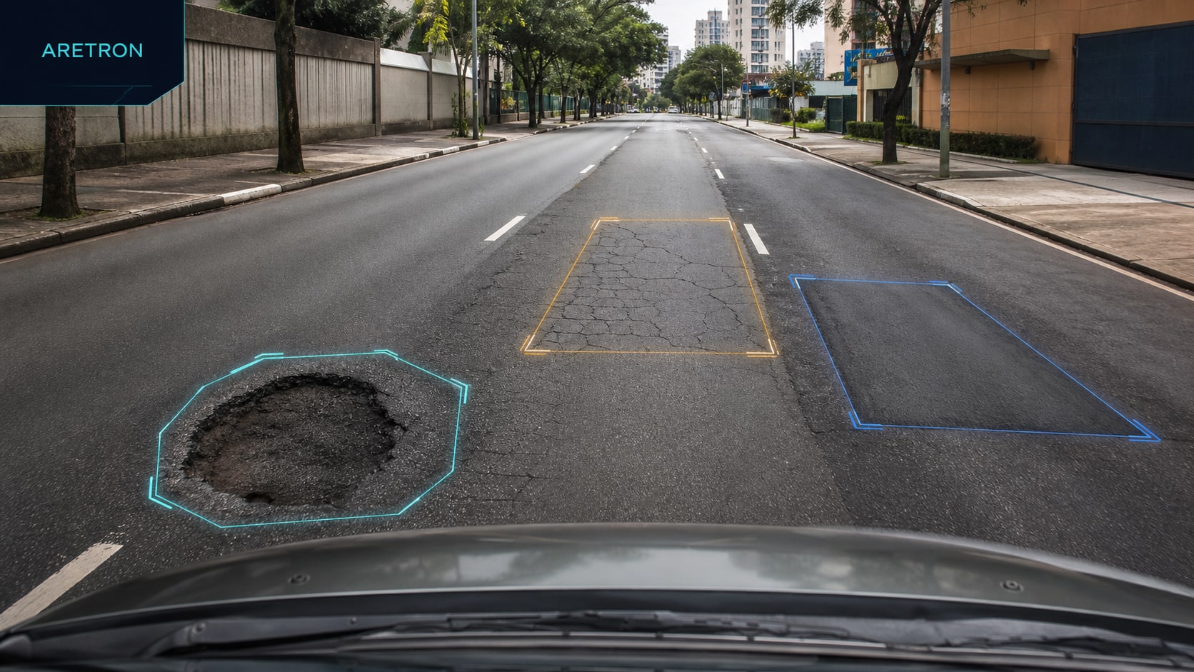
For pavement, the pothole detection page explains the visual-reading module and its limits. An image may support triage and prioritization, but it does not replace inspection, measurement or an engineering report where those procedures are required. Drainage, curbs, road markings, cleaning and street furniture also depend on categories, capture conditions, field samples and acceptance criteria defined for the project.
This separation improves procurement. The municipality knows which condition is observed, in which area, at what frequency, who reviews the result and which system receives the record. Performance stops being an abstract promise and becomes something tested on agreed routes and samples.
How to assess an OCR-vehicle urban maintenance proposal
Before comparing platforms, a municipal manager can require direct answers:
- which routes and areas are covered;
- which categories are available and which require field validation;
- which data accompanies each record;
- how human review works and who may change a classification;
- how duplicate or inconclusive records are handled;
- which municipal systems have a compatible interface;
- how acceptance measures coverage, record quality and workflow continuity;
- which access, retention and audit rules apply to images and locations.
Acceptance testing should use routes, categories and conditions that represent the real operation. A rate observed in one sample should not become a universal guarantee for other cities, cameras, speeds, times of day or weather conditions.
The role of human review
Computer vision reduces the volume of material that must be found manually, but it does not assume the authority's responsibilities. An image may be partial, blurred, occluded or open to different interpretations. The responsible person needs access to the original record, route context and relevant history before making a decision.
The same care applies when closing a request. A later photograph may support evidence of completed work, but closure follows the municipal procedure. The platform organizes the trail; it does not independently declare that a problem has been resolved or that evidence has automatic legal effect.
A concrete use for a fleet already on the road
The value of an OCR route lies in connecting recurring observation to municipal workflow without claiming unrestricted coverage. Where an active operation exists, its route can support an agreed additional maintenance scope. If a new route, camera, category or integration is required, its cost and deployment must be stated in the project.
R-6b mapping shows this logic in operation: the car finds the sign within the areas traveled, the system associates context, a person reviews the record and municipal management decides the next step. This chain, from the street to follow-up, is what turns a capture into operational information.
Reference
BRAZILIAN NATIONAL TRAFFIC SECRETARIAT. Brazilian Road Traffic Signage Manual, Volume I: Regulatory Vertical Signs. Available at: gov.br/transportes.